Summits · Huts · Hikes · Ski
See the mountain before you climb it.
Every summit over 3,000 m, the routes to the top and the huts to sleep in, on real 3D terrain.
4,253Summits over 3,000 m
1,724Mountain huts
6,859Waymarked hikes
8,158Climbing routes
Summits
Find a summit
Featured
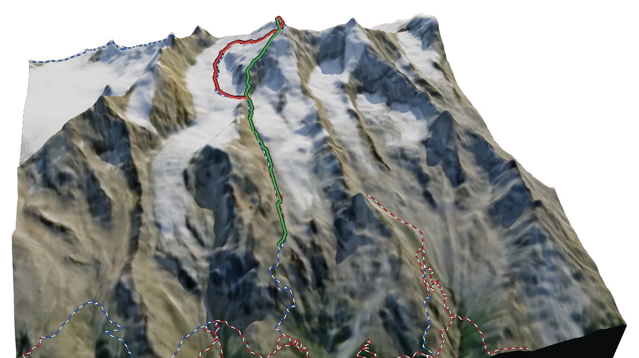
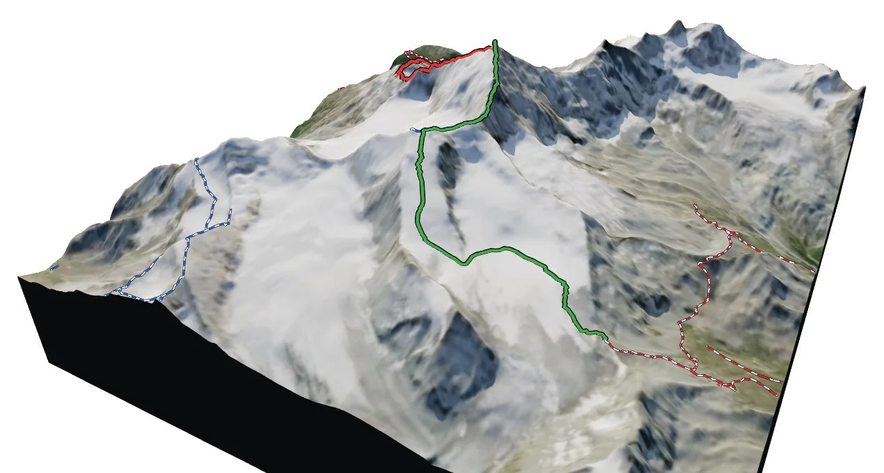
The 3D atlas
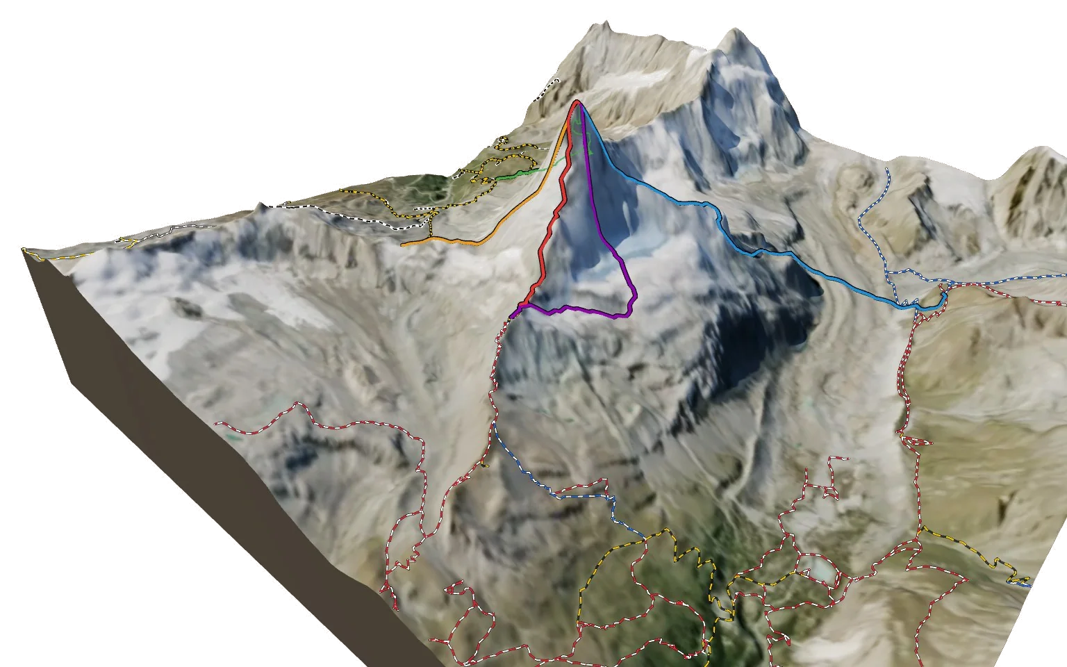
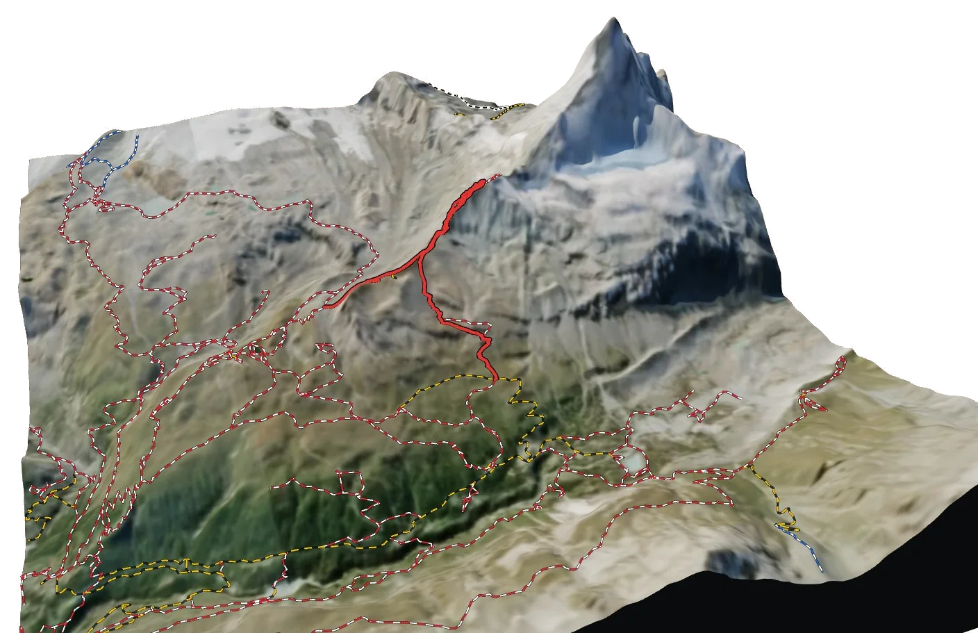
A map you can walk around.
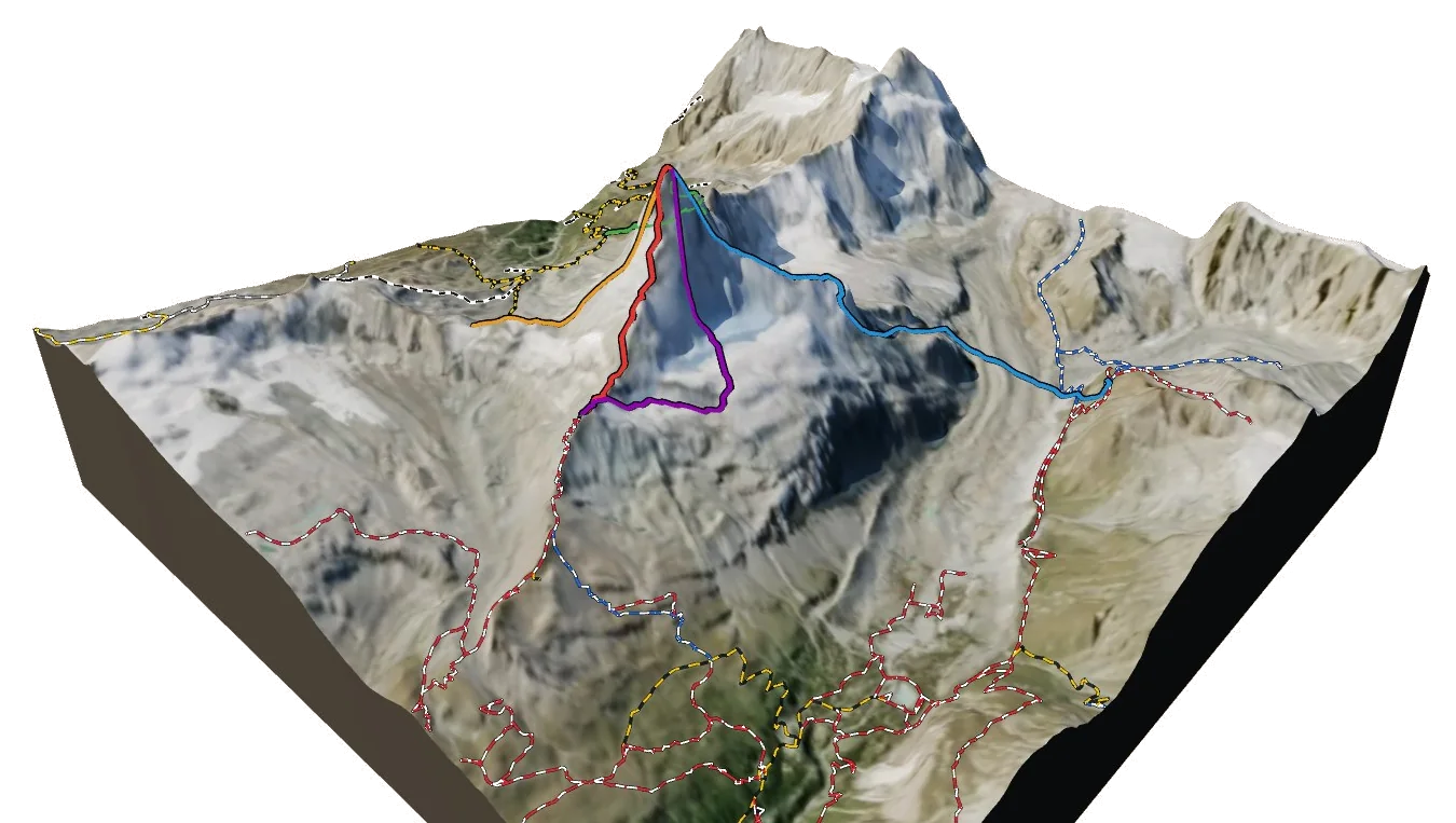
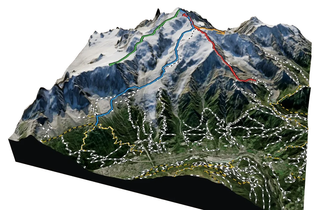
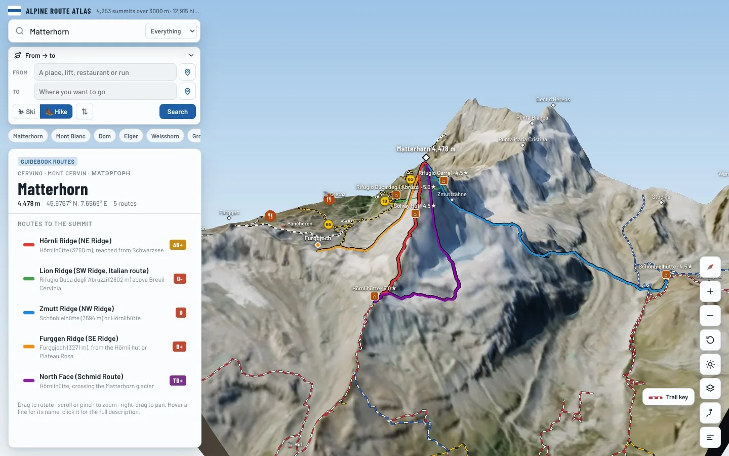
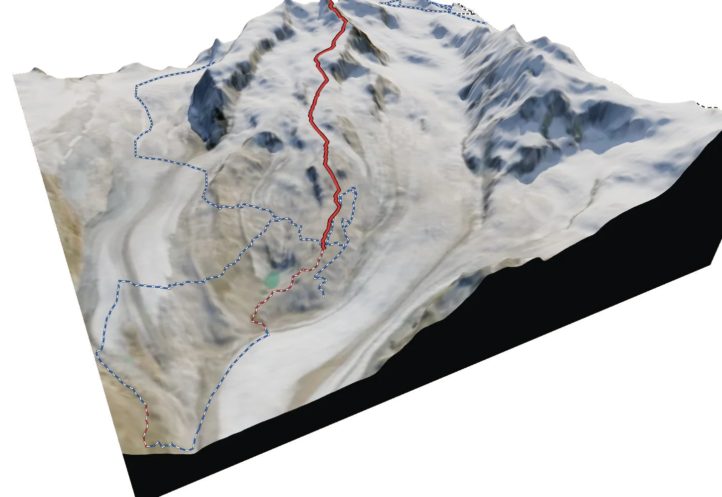
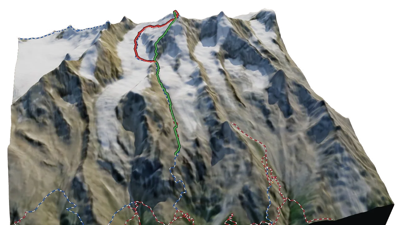
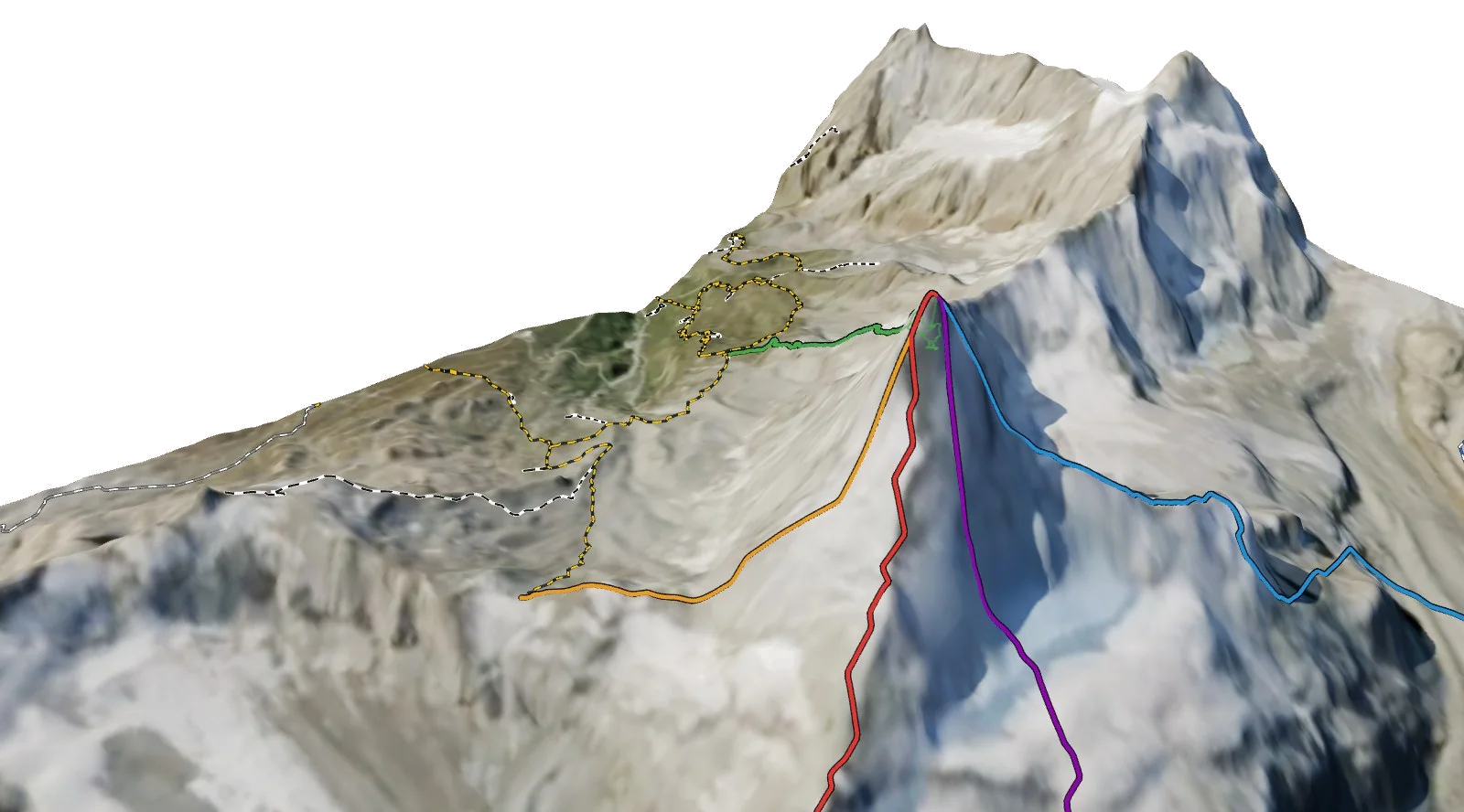
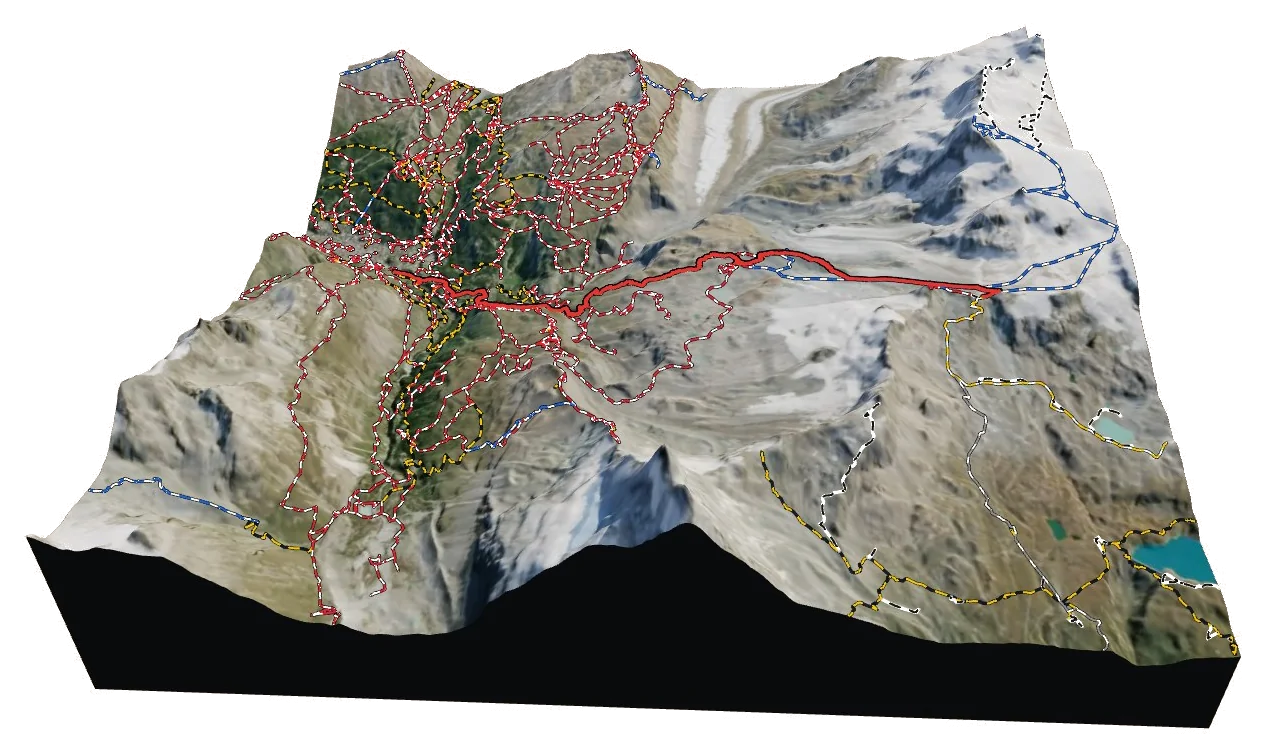
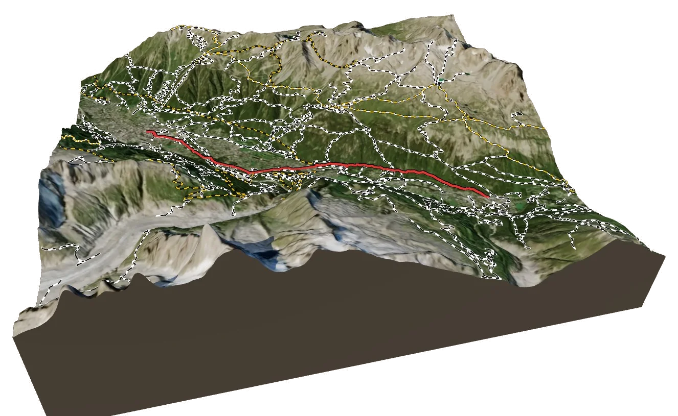
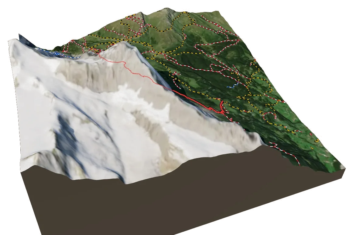
Berg Explorer turns satellite imagery and terrain data into a 3D model of the Alps, with every route, hut and trail drawn on it.
- Turn and tilt every face in real 3D terrain
- Each route traced in colour, with its grade
- Huts, lifts and waymarked trails on the map
- Free, in your browser, no download
Where to stay
Find a hut
Featured
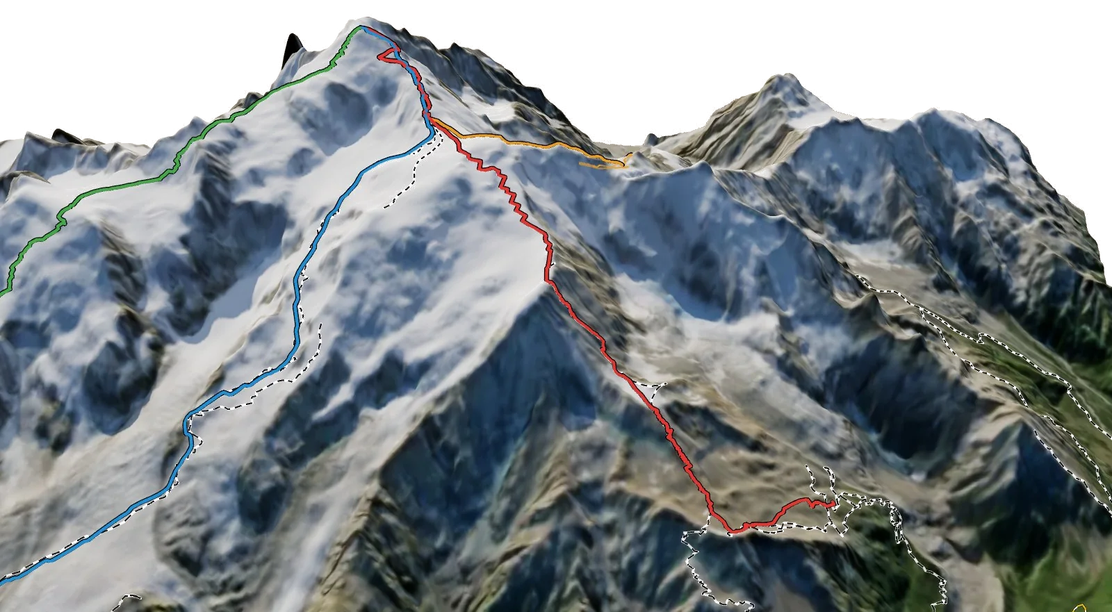
The 3D atlas
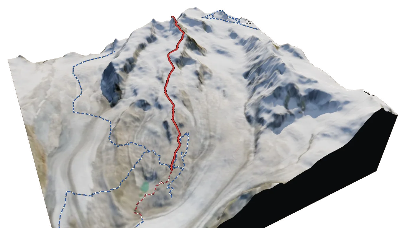
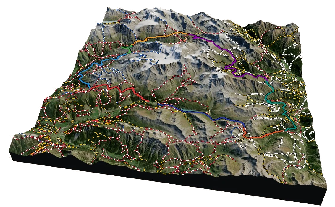
Every stage, every climb.
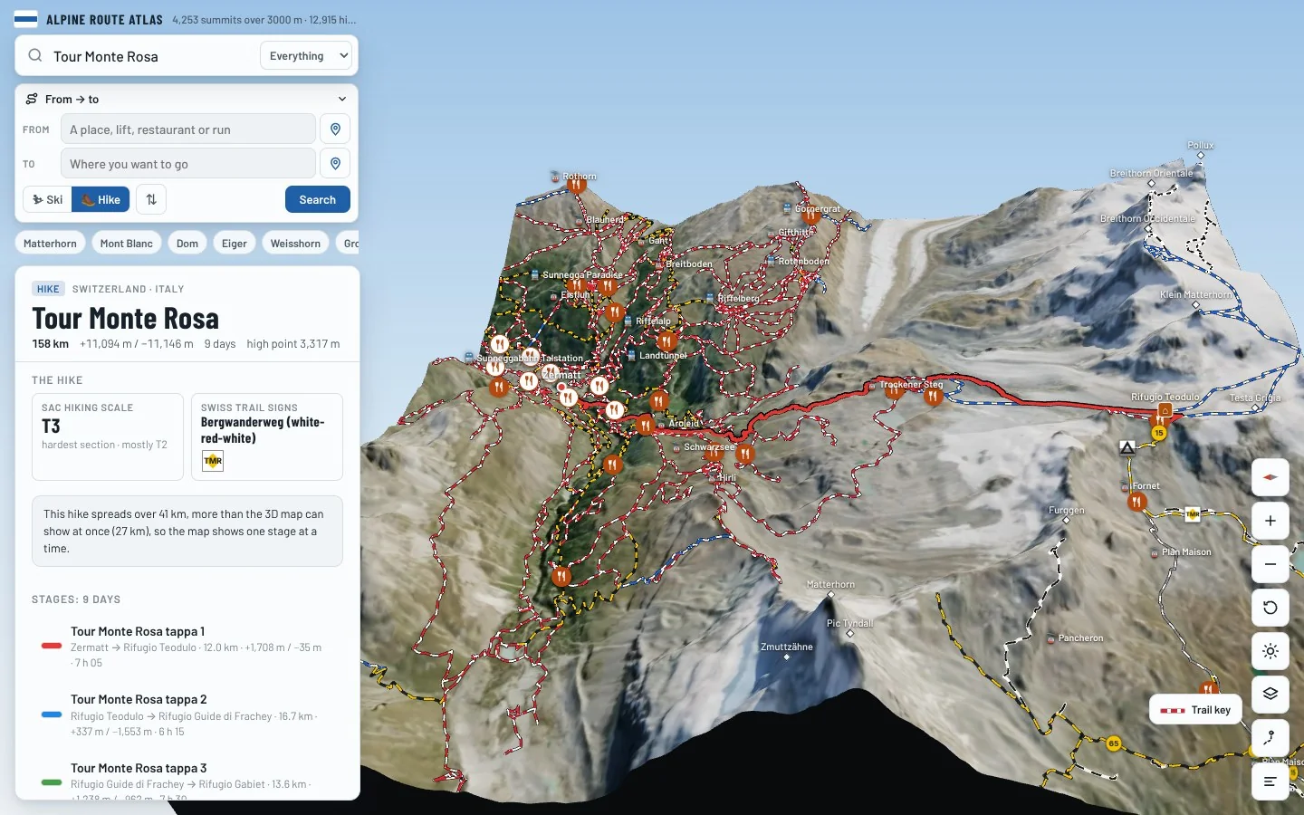
Follow a multi-day trek like the Tour Monte Rosa stage by stage on real 3D terrain, and see where each day starts, climbs and ends.
- Each stage drawn in its own colour
- Distance, climb and walking time for every day
- The huts where each day ends
- Free, in your browser, no download
On foot
Find a hike
Featured
The 3D atlas
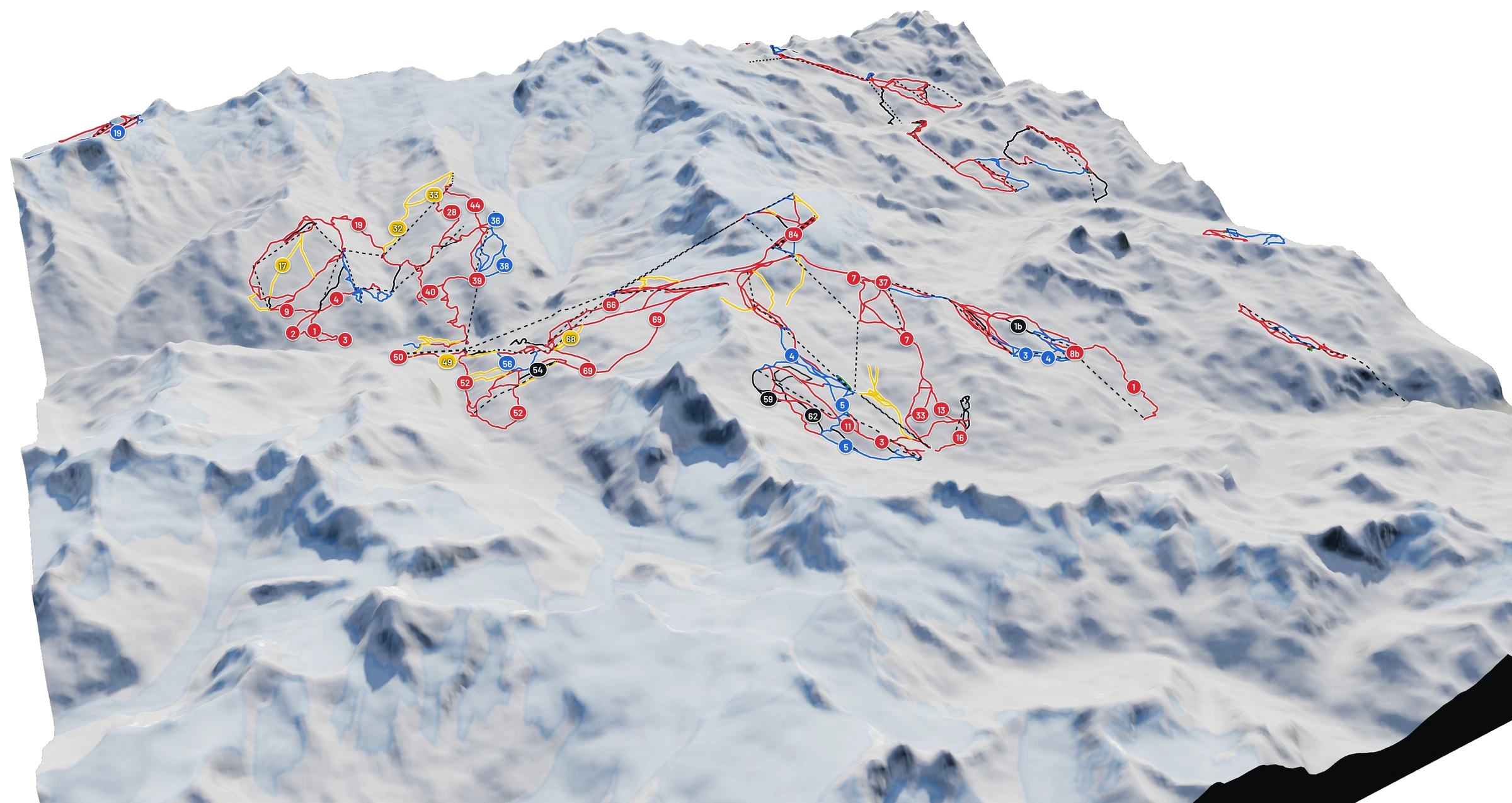
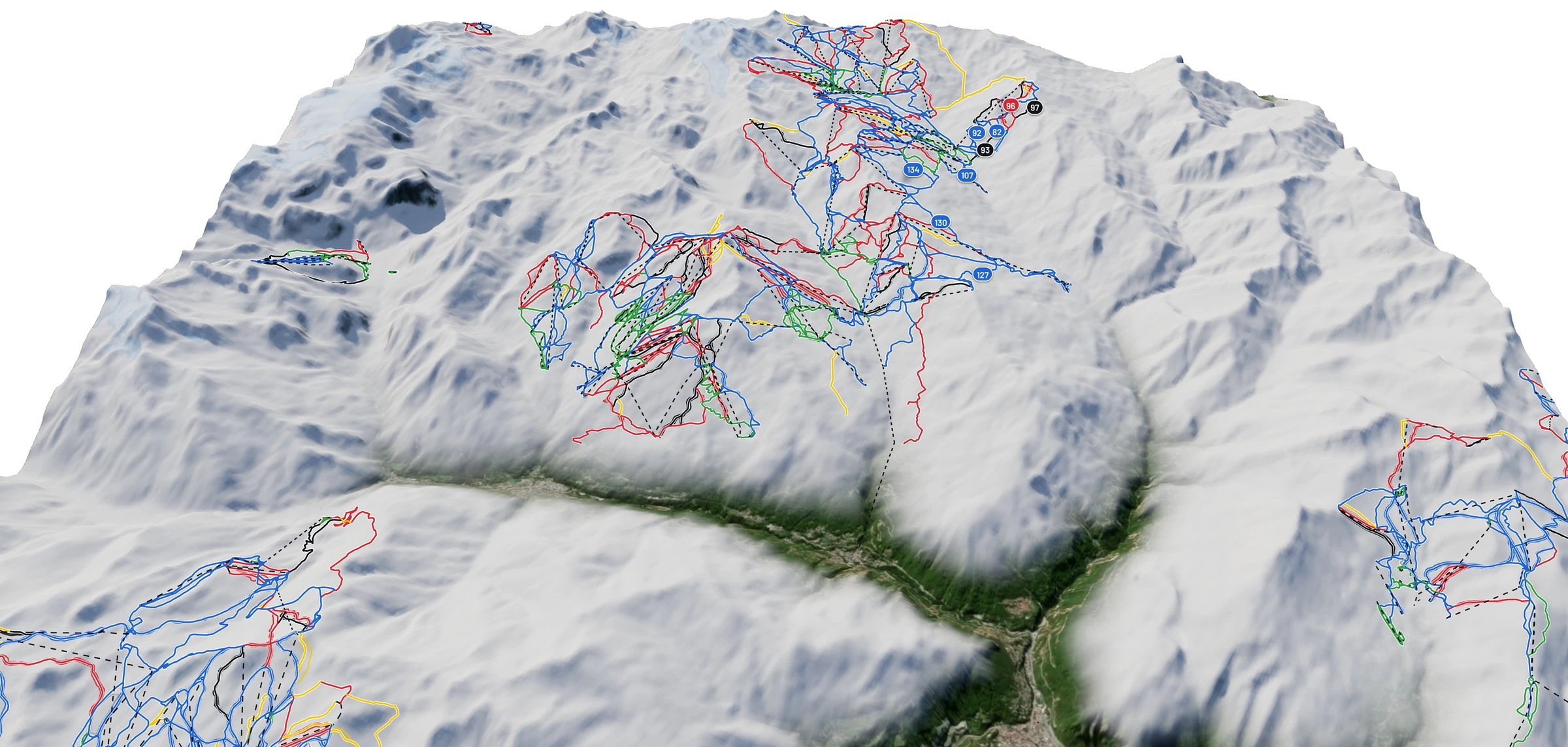
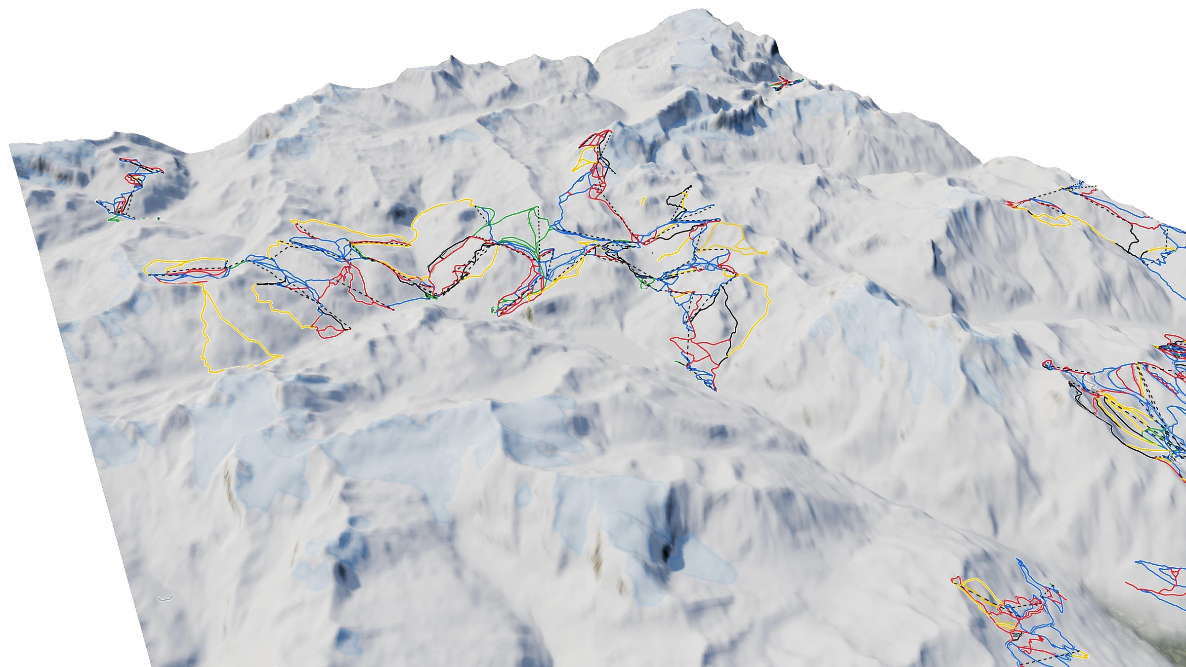
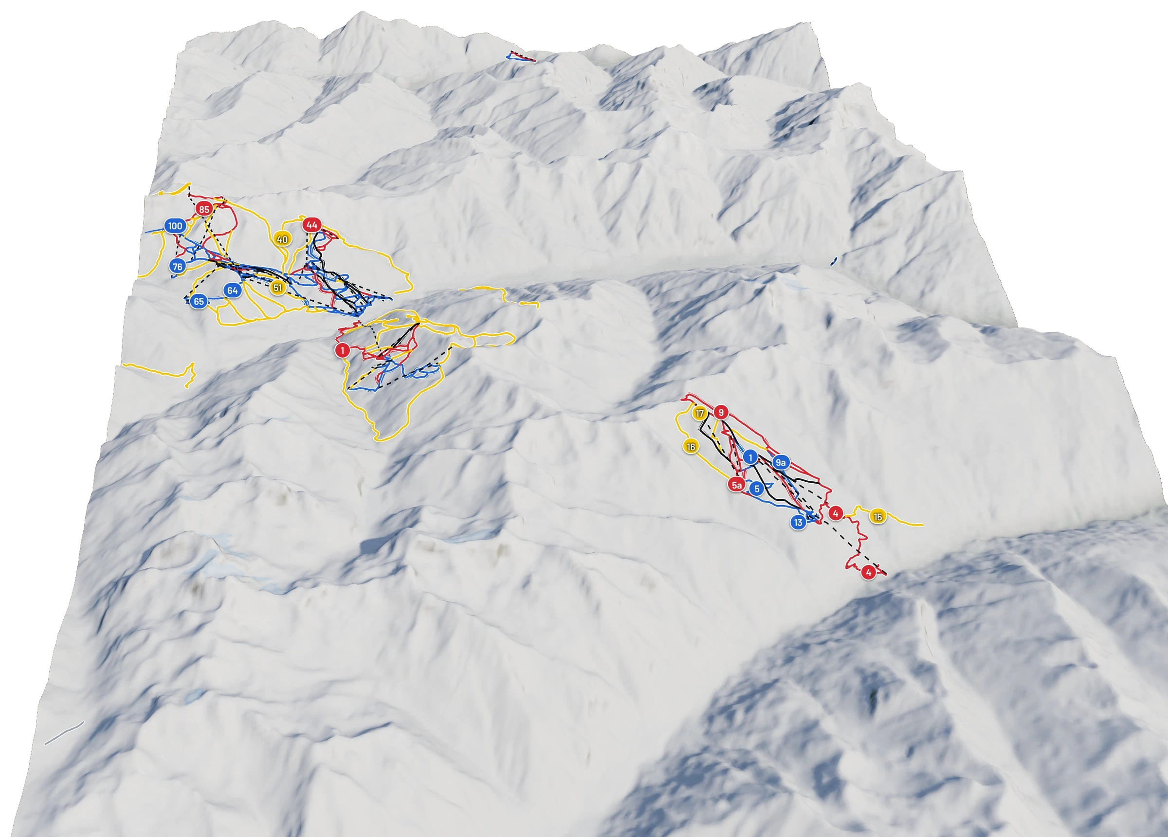
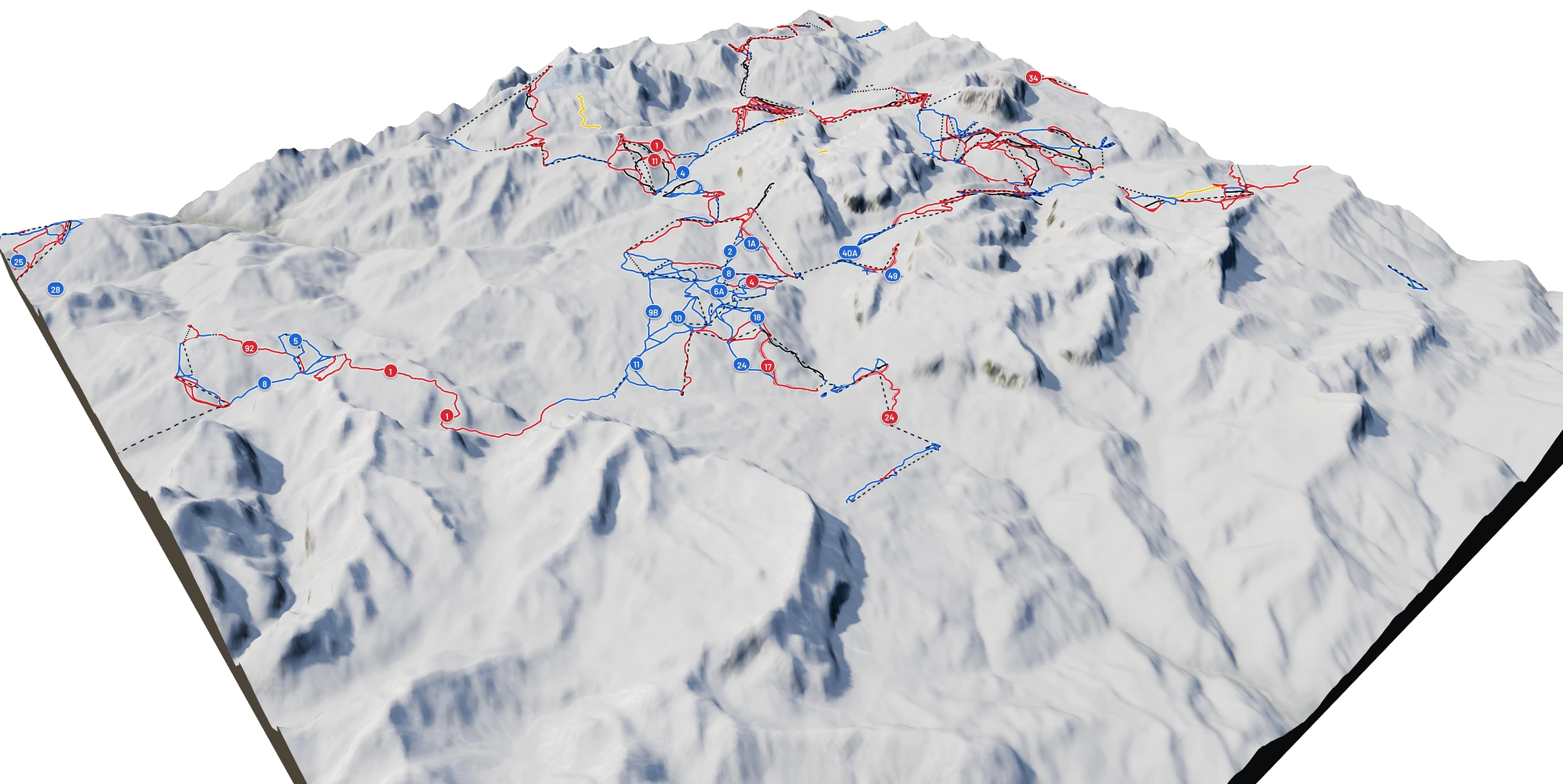
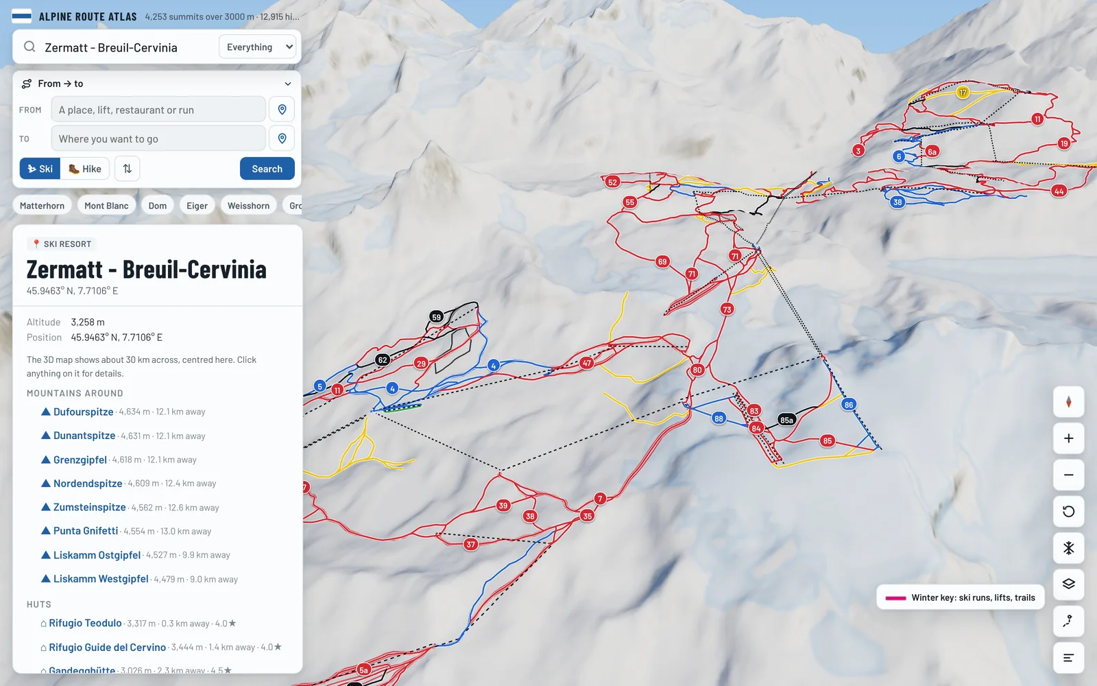
Ski the whole mountain.
See a ski area like Zermatt–Cervinia from above: every piste in its colour, every lift and every mountain restaurant, on real 3D terrain.
- Every run in its piste colour
- All the lifts, from cable cars to drag lifts
- Mountain restaurants on the slopes
- Free, in your browser, no download
In winter
Find a ski area
Featured