Mountain hut · 3,331 m · ★ 4.5
Refuge Durier
A staffed hut in the Mont Blanc massif area, and the start of 1 guidebook route.
Overview
About the hut
Refuge Durier is a staffed mountain hut at 3,331 m in the Mont Blanc massif area. The nearest village is Les Contamines-Montjoie (1,164 m), about 7 km away and 2,167 m lower. Climbers use it as the starting point for Aiguille de Bionnassay. The atlas rates it 4.5 out of 5, based on its position, altitude, access and the climbs around it. Book ahead in summer and check opening dates: many huts open only from late June to mid-September.
At a glance
Why stay, and what to know
Highlights
- Base for 41 summits over 3,000 m within 6 km, including Mont Blanc, Mont Maudit, Picco Luigi Amedeo
- Start of guidebook routes: S Ridge (Normal Route, from the Durier Hut) (Aiguille de Bionnassay)
- High and wild setting at 3,331 m, with an early start already above most of the climb
- Staffed hut: meals, drinks and a bed
Good to know
- Long walk in: roughly 1,700 m of ascent from the valley floor
- Very high (3,331 m): sleeping here before acclimatising can be hard
- Glacier nearby: the approach or onward routes may need a rope and crevasse kit
Climbing
Guidebook routes from the hut
AD-
S Ridge (Normal Route, from the Durier Hut)
Aiguille de Bionnassay · 4,052 m
Guidebook
Normal or classic line on this summit. Grade from current guidebooks; the line is traced from trail data and terrain, so check a guidebook for the exact way.
- Grade
- AD- · rock II
- Time
- 3–4 h up (estimate)
- Height gain
- 694 m
- Starts from
- Refuge Durier
On the route
- Starts at Refuge Durier
- About 1.4 km and 694 m of ascent on the line shown
- Passes Col de Miage (3358 m)
- Steepest sustained section about 50° (from the terrain model)
Tips
- Steep ground: crampons and ice axe likely needed early in the season
- Above 4000 m: acclimatise before the climb
- Check current conditions with the nearest hut or local guides before you go
The 3D atlas
Stand at the door and look up.
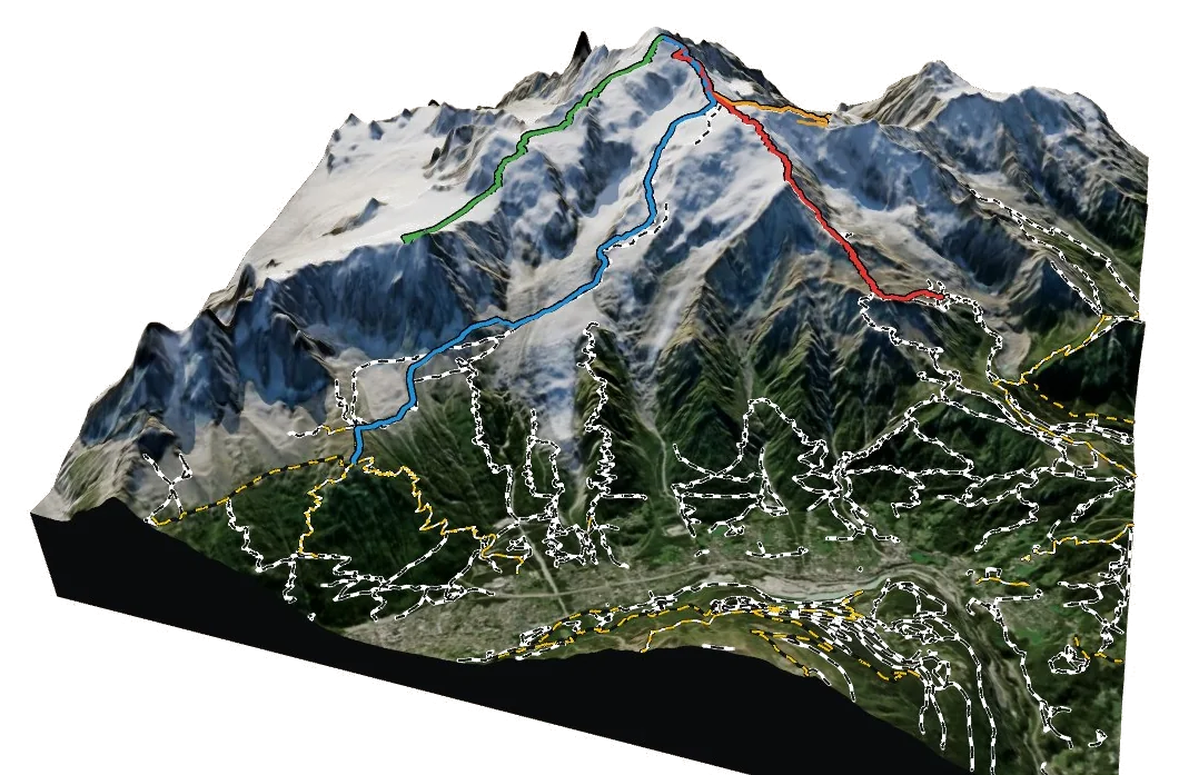
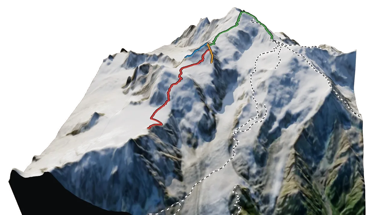
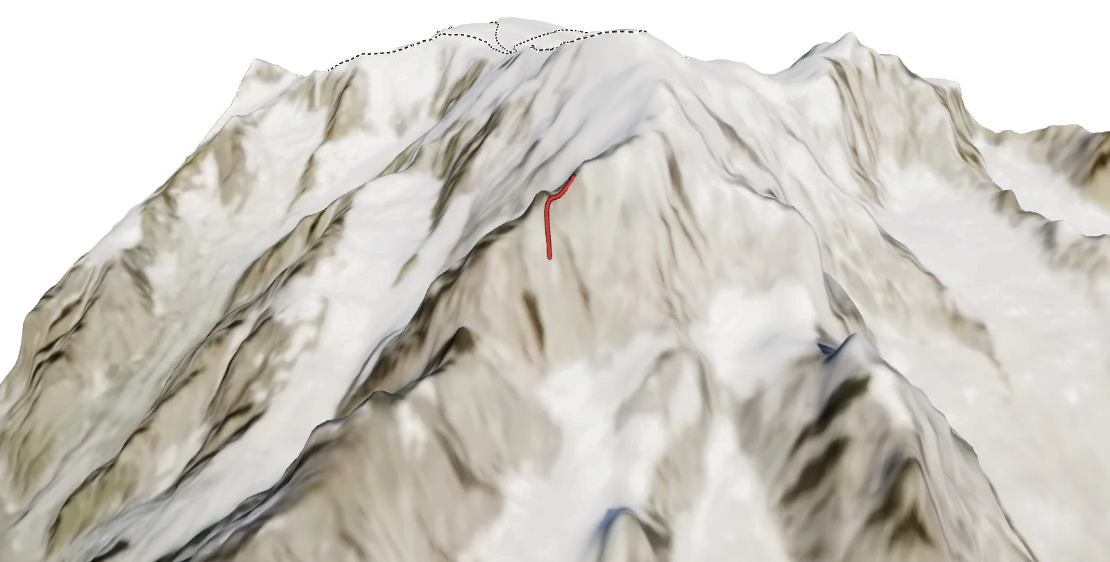
See exactly where Refuge Durier sits on the mountain, which routes leave from it and how you reach it, on real 3D terrain.
- Turn and tilt every face in real 3D terrain
- Each route traced in colour, with its grade
- Huts, lifts and waymarked trails on the map
- Free, in your browser, no download
Nearby