Mountain hut · 2,696 m · ★ 4.5
Schönbielhütte
A staffed hut in the Zermatt and Saas area, and the start of 1 guidebook route.
Overview
About the hut
Schönbielhütte is a staffed mountain hut at 2,696 m in the Zermatt and Saas area. The nearest village is Breuil-Cervinia (2,009 m), about 7 km away and 687 m lower. Climbers use it as the starting point for Matterhorn. The atlas rates it 4.5 out of 5, based on its position, altitude, access and the climbs around it. Book ahead in summer and check opening dates: many huts open only from late June to mid-September.
At a glance
Why stay, and what to know
Highlights
- Base for 25 summits over 3,000 m within 6 km, including Matterhorn, Dent Blanche, Dent d'Hérens
- Start of guidebook routes: Zmutt Ridge (NW Ridge) (Matterhorn)
- Staffed hut: meals, drinks and a bed
Good to know
- Glacier nearby: the approach or onward routes may need a rope and crevasse kit
Climbing
Guidebook routes from the hut
D
Zmutt Ridge (NW Ridge)
Matterhorn · 4,478 m
Guidebook
The most beautiful of the ridges and the least crowded. Mixed climbing on snow and loose rock, finishing on the Italian side.
- Grade
- D · rock IV-
- Time
- 10–12 h from the Hörnli or Schönbiel hut
- Height gain
- 1,300 m
- Starts from
- Schönbielhütte (2694 m) or Hörnlihütte
On the route
- Approach across the Zmutt glacier to the foot of the ridge
- Snow arête leading to the Zmutt Teeth (Zmuttzähne)
- Carrel's Gallery traverse onto the Tiefmatten face
- Joins the Italian summit ridge
Tips
- Needs firm snow on the lower arête; go early in the season
- Rockfall exposure on the Tiefmatten traverse
- Descend by the Hörnli Ridge
- Few parties: you will be route-finding alone
The 3D atlas
Stand at the door and look up.
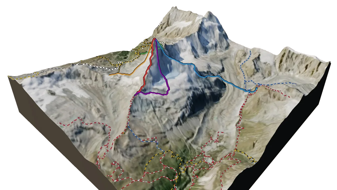
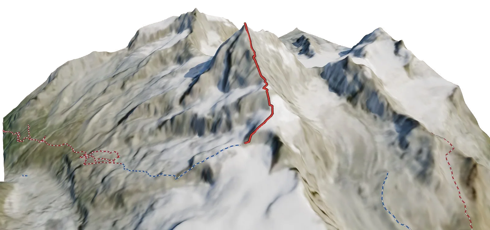
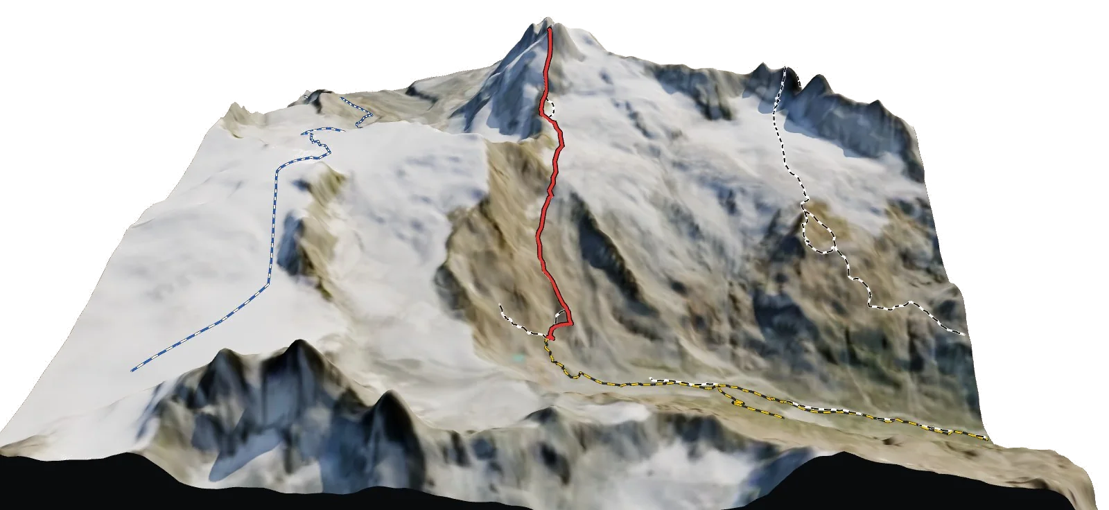
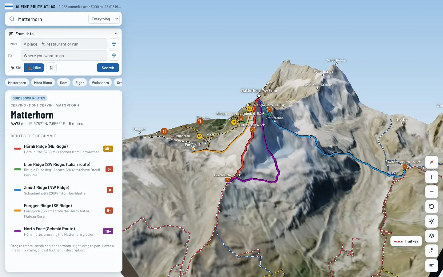
See exactly where Schönbielhütte sits on the mountain, which routes leave from it and how you reach it, on real 3D terrain.
- Turn and tilt every face in real 3D terrain
- Each route traced in colour, with its grade
- Huts, lifts and waymarked trails on the map
- Free, in your browser, no download
Nearby